blah blah blah
Hutchins Forest
Length: 1.5 mile loopDifficulty (click for info): Beginner
Elevation Gain: minimal
Rating (click for info): 2/10
Driving Directions:
Trailhead and parking area are on Rt. 132 in Canterbury, NH. Look for a small pull-out with the Forest Society sign and gate on the east side of the road, 1.7 miles north of Hoit Road (at exit 17 off I-93) and 1.8 miles south of Center Road into Canterbury center. Click here for a Google map.
Trail Map
About the Hike:
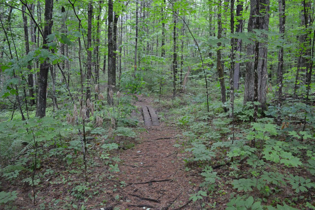
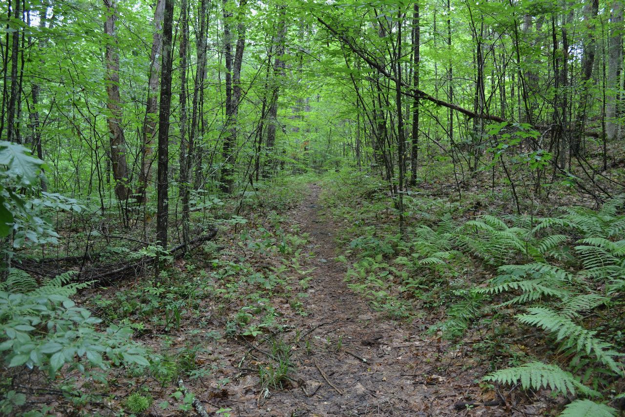
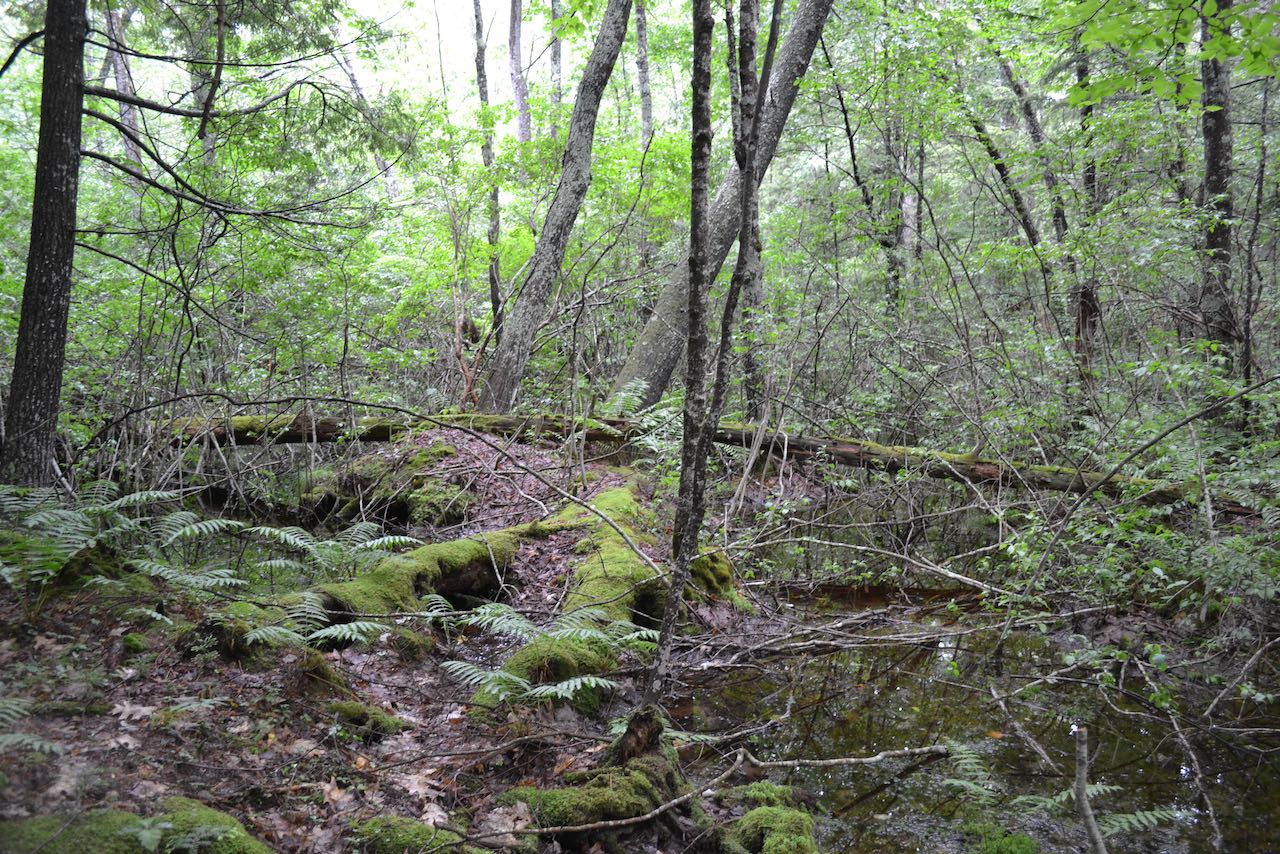
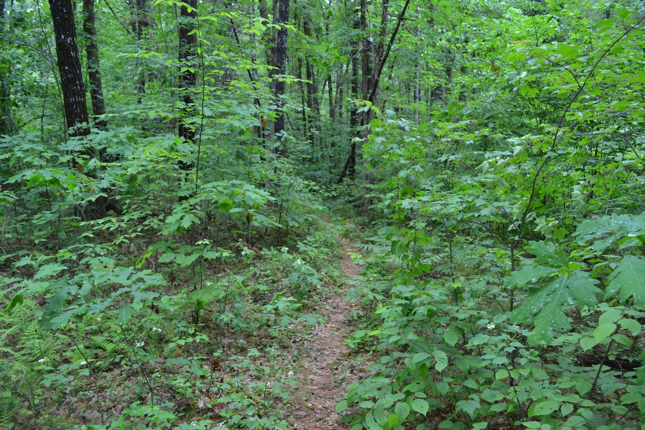
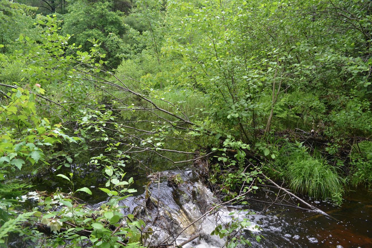
The Forest Society's Hutchins Forest offers visitors quiet, off-the-beaten-path forest walking. Other than glimpses of Burnham Brook from the trail, there are no interesting features to be seen on the property, but some may find it worth the visit for the solitude and local location. For the most thorough loop around the preserve, you will want to follow the Burnham Brook Loop. From the gate at the trailhead, follow the only trail into the forest for about 0.15 miles to a T-junction. Take a right, and shortly thereafter, bear left as another trail diverges to an adjacent tract of conservation land. After about another 0.15 miles, bear left through a recently logged area as a less-used connecting trail to another parking area goes straight. After another 0.15-mile segment, the trail swings left as you approach the main feature of the property - the often sluggish and marshy Burnham Brook. The trail takes a winding course as it stays near the brook for the next 0.35 miles, then makes a left turn away from it and reaches a junction. Bear right and continue 0.1 miles back to the first junction, where you can take a right to return to the parking area.
Printable directions page